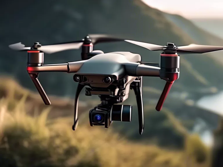
Drones have revolutionized the way we gather data and map remote locations. This article will discuss the various ways drones can be used for mapping and surveying in hard-to-reach areas, providing valuable insights and increasing efficiency.
From monitoring wildlife populations to assessing disaster damage, drones offer a cost-effective and efficient solution for mapping and surveying remote locations. With their ability to capture high-resolution images and data from above, drones can provide detailed and accurate information that would be difficult or impossible to obtain with traditional methods.
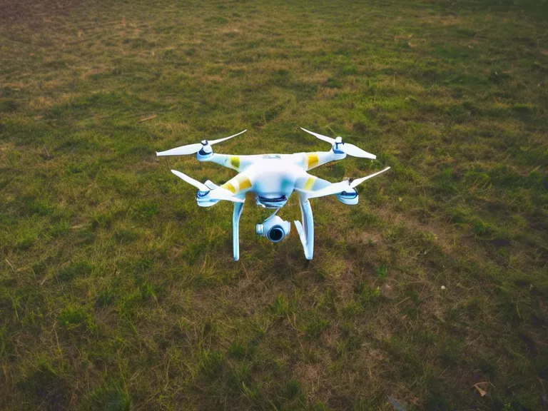
One of the key benefits of using drones for mapping and surveying remote locations is their ability to cover large areas quickly and efficiently. Drones can fly over rugged terrain, dense forests, or inaccessible areas, capturing data in real-time and providing instant feedback to researchers or surveyors.
In addition to their speed and agility, drones can also be equipped with specialized sensors and cameras to capture different types of data. For example, thermal cameras can be used to detect temperature variations in a forest, while multispectral cameras can help identify plant species or assess crop health.
Furthermore, drones can be programmed to follow pre-determined flight paths, ensuring consistent and reliable data collection. This automated process reduces the risk of human error and allows researchers to focus on analyzing the data rather than spending time on data collection.
In conclusion, drones are a valuable tool for mapping and surveying remote locations. Their versatility, speed, and ability to collect accurate data make them an essential resource for researchers, surveyors, and conservationists. By harnessing the power of drones, we can gain new insights into our world and make informed decisions to protect and preserve our natural environment.